Live200 robots in operation across Europe as of May 2026.Live44 OEM partners and counting. Three new this month.Live11 European countries operational. Germany, Austria, Switzerland, France, Italy, Spain, Netherlands, Denmark, Sweden, Poland, United Kingdom.LiveFirst humanoid on Floor 2, Hamburg senior living. Week 12 of operation.PublishedCost-reduction case with a care group. Double-digit cost offset, year one.Live200 robots in operation across Europe as of May 2026.Live44 OEM partners and counting. Three new this month.Live11 European countries operational. Germany, Austria, Switzerland, France, Italy, Spain, Netherlands, Denmark, Sweden, Poland, United Kingdom.LiveFirst humanoid on Floor 2, Hamburg senior living. Week 12 of operation.PublishedCost-reduction case with a care group. Double-digit cost offset, year one.
wedrone.

wedrone / Surface mining

A stockpile you estimate is a stockpile you get wrong.

Survey stockpiles and pits photogrammetrically, lay them against the mine plan, monitor highwalls and tailings. Monthly instead of annually, without anyone walking the crest.

Applications

Five ways to capture the pit from the air.

VOLUME

Stockpiles & volumes

The case that pays back fastest. Photogrammetry produces stockpile volumes from a flight rather than an estimate, and because the same flight repeats every month, single values become an inventory trend you can reconcile against the books.

  • Volume, not estimate
  • Monthly reconciliation
  • Repeats identically

PIT

Pit & plan reconciliation

The pit is captured as a whole and laid against the mine plan. Where extraction actually happened and where it did not shows up early enough to adjust planning, rather than being discovered at year end.

  • Extraction progress
  • Laid against the plan
  • Early, not at year end

BLAST

Blasting

Before the blast, the flight provides bench geometry and burden for hole planning; afterwards, the muck pile shape and an assessment of fragmentation. Both without anyone standing at the crest.

  • Burden & hole planning
  • Muck pile after
  • Nobody at the crest

SLOPE

Highwall & benches

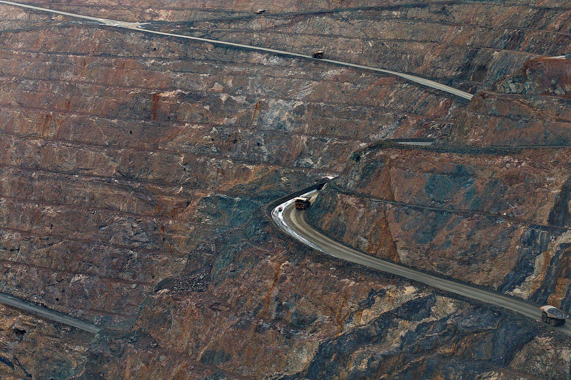
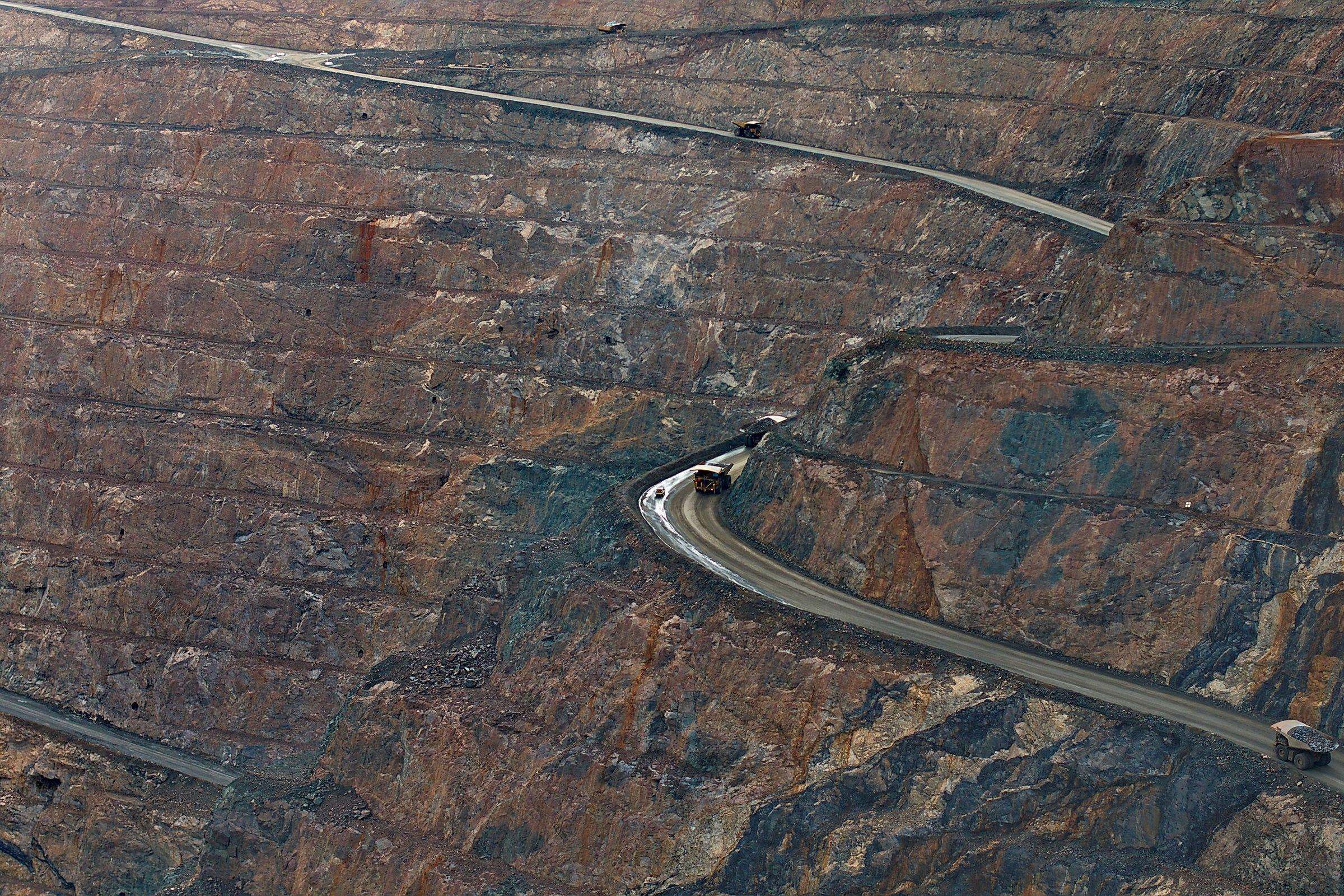
Highwalls, benches and dump bodies are captured without a surveyor walking the crest. Repeat flights make deformation visible, and deformation over time is the actual warning signal, not the single finding.

  • No walking the crest
  • Deformation over time
  • Input for geotechnics

TAILINGS

Tailings & dams

Tailings facilities and their dams carry the largest damage potential and the worst access. Regular flights document freeboard, slope geometry and seepage at consistent quality.

  • Freeboard & slope
  • Seepage
  • Consistent quality

Above the pit

Measure without walking the crest.

How it works

Capture. Fly. Process.

01

Capture

Pit and stockpile layout, blast exclusion zones, heavy equipment traffic and the required rhythm are recorded. That becomes a flight profile which repeats identically. Without ground control and without identical repetition, two volumes are not comparable, and then even the finest point cloud is of little use.

02

Fly

Flights are conducted by approved operators from the partner network under EU drone regulation (EU) 2019/947, with the aircraft under (EU) 2019/945. On site, blast exclusion zones, dust and heavy equipment traffic add their own constraints.

03

Process

Orthophoto, terrain model, point cloud and volumes converge and are laid against the mine plan. Statutory mine surveying explicitly stays with the mine surveyor; the flight delivers what sits in between, only monthly rather than annually.

Note: wedrone is a systems integrator, not an aviation operator. wedrone holds no operational authorisations of its own and does not fly itself. Statutory mine surveying stays with the mine surveyor and geotechnical assessment with the qualified engineer. The flight delivers capture and processing, not the expert opinion.

Underground

Nothing flies underground.

Haulage on fixed routes, drilling, inspection of ventilation and conveyor drifts and access to workings nobody can enter run on werob's ground robotics. In firedamp environments, ATEX Group I applies on top, and it determines the hardware choice entirely.

werob mining: robotics underground

FAQ

Does the drone replace the mine surveyor?
No, and in Germany that is a legal question rather than a technical one. Statutory mine surveying is reserved to the Markscheider, and no point cloud changes that. What the flight changes is frequency: a photogrammetric volume is available monthly or weekly, a formal survey is not. The two do not compete; they sit on different time scales. Anyone telling you otherwise is selling you a problem with the mining authority.
How accurate is an aerial stockpile volume?
With ground control points and sound photogrammetric processing, accuracy is at the centimetre level, which is enough for inventory reconciliation, progress and volume calculation. What matters more than absolute accuracy is repeatability: if you fly identically every month, the difference between two flights is more reliable than any single value. Two campaigns flown differently, by contrast, cannot sensibly be subtracted from one another.
LiDAR or photogrammetry?
For stockpiles and open pit surfaces, photogrammetry is usually enough and considerably cheaper. LiDAR earns its cost when vegetation is in the way and you need the ground beneath it, in poor light, or where steep highwalls have to be captured at a shallow angle. We decide that from your site, not from a brochure.
What about dust, blasting and traffic in the pit?
Those are the real constraints, and they come before the technology. Nothing flies during the blast exclusion period, heavy dust produces poor photogrammetry, and heavy equipment routes determine where launch and recovery may sit. A flight profile that ignores these works in a brochure and not in production.
How large is the sector in Germany?
According to the industry association bbs, around 4,000 companies with 136,000 employees extract roughly 570 million tonnes of raw material a year. That is an association self-report and we label it as such. The point behind it is not in dispute, though: that is a very large number of extraction sites, all of which need surveying and monitoring on a regular basis.
And underground?
As a rule, nothing useful flies down there. Haulage, drilling, inspection of ventilation and conveyor drifts, and access to workings nobody can enter run on werob's ground robotics, with ATEX Group I equipment on top in firedamp environments. Air above ground, ground robots below it, and underwater robotics in flooded workings. All three are specified together.
Your stockpiles, measured monthly instead of estimated.

Describe the site, the areas and the rhythm you want. We structure regulation and operators and bring the flights into routine operation, aligned with your mine surveyor.