- Which infrastructure does wedrone fly?
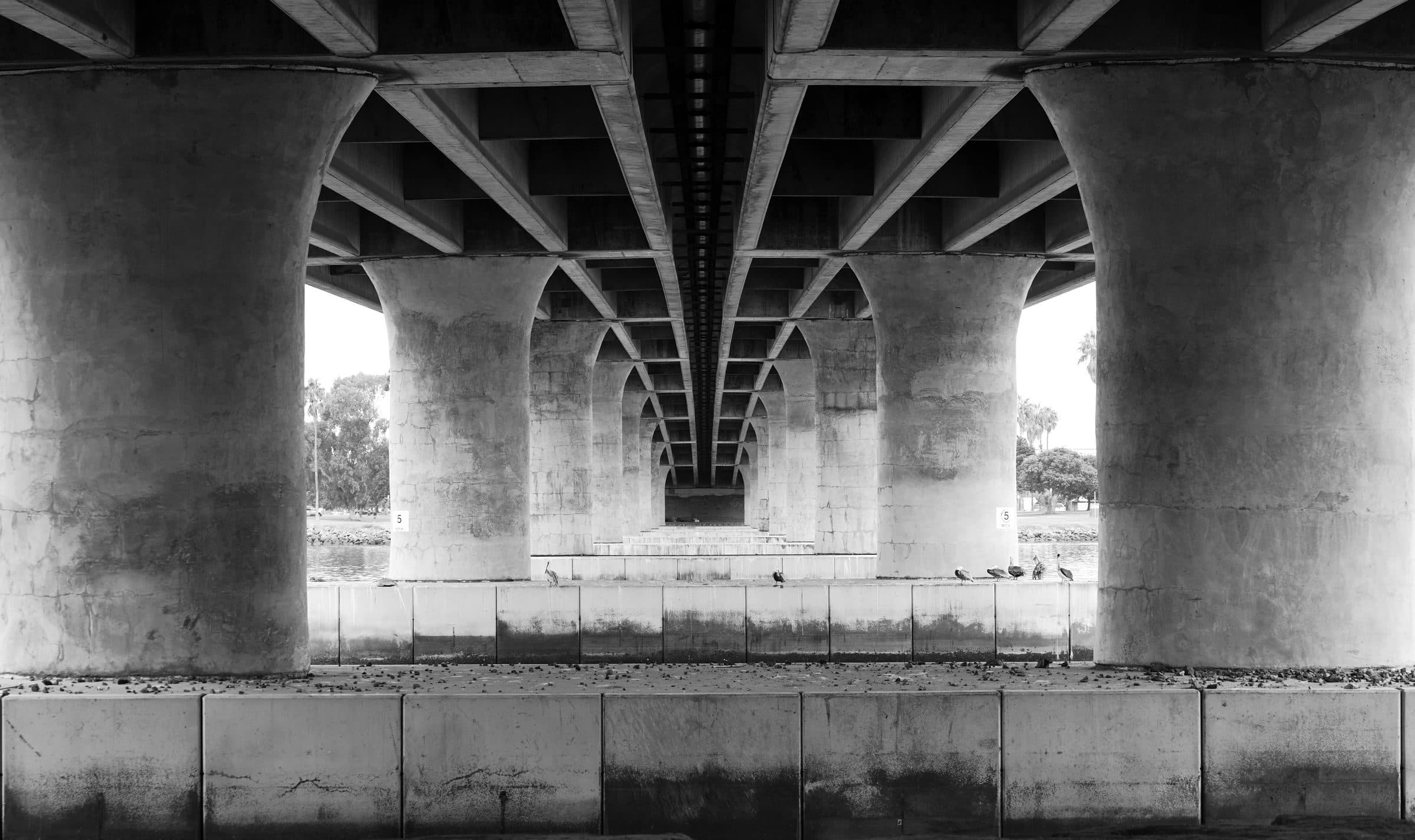
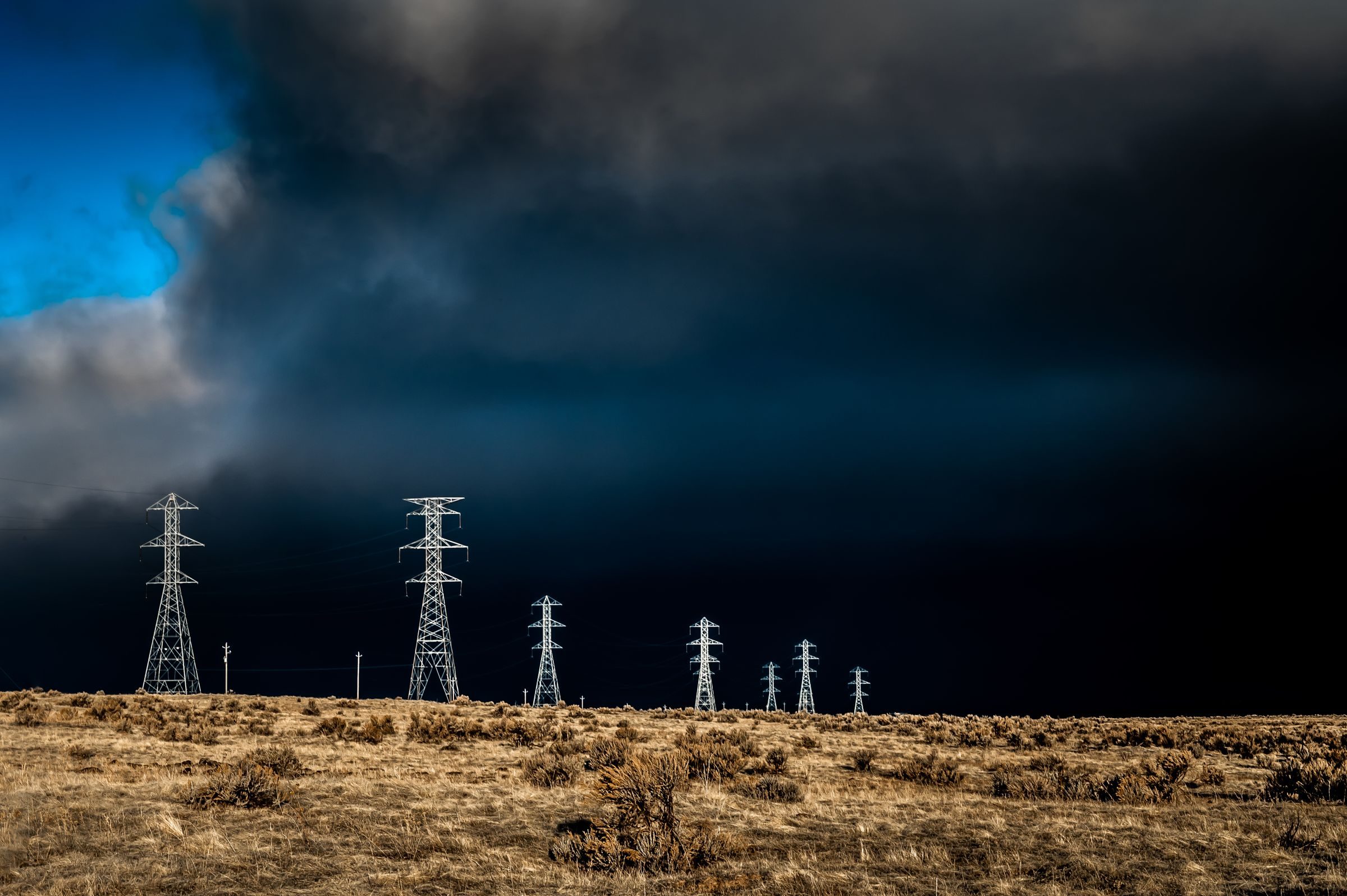
- Bridges, roads, power lines, dams, tunnels, wind turbines and solar arrays. Germany alone carries 40,264 bridge structures on its federal trunk roads (BASt, March 2026), around 51,000 km of trunk road, about 37,900 km of extra-high-voltage transmission lines (BNetzA, end of 2024) and 30,906 wind turbines (end of 2025). Every one of these assets sits on a mandated inspection interval.
- Does a survey replace a statutory bridge inspection?
- No. The inspection under DIN 1076 is carried out by a qualified engineer, and a drone does not change that. The survey provides the routine capture between inspection dates and the imagery for hard-to-reach areas. It does not replace an inspection; it shortens the window in which nobody is looking.
- What is the actual advantage over a walk-through?
- Repeatability. A person with a camera photographs slightly different spots from slightly different angles at every visit. A flight profile flies the same route with the same waypoints and the same angles. That is what turns individual findings into a trend, so a crack or a hot joint can be traced over years.
- How does this work under regulation?
- Under EU drone regulation 2019/947. wedrone structures the operational category, risk assessment and approval path; specialised partners run the procedures. Flights over traffic routes, along corridors or beyond visual line of sight (BVLOS) each need their own case, settled before the first flight.
- Who is this for?
- For road authorities and asset owners, grid operators and utilities, dam and water-management bodies, wind and solar park operators, and engineering firms that deliver inspection services and want to outsource the capture.
- What if the asset is reachable from the ground?
- Then nothing flies; it drives or walks. Substation rounds, tunnel and plant-room rounds or solar-array cleaning run on werob's ground robotics. Most real infrastructure programmes need both, and they are specified together.